So where exactly is "Finding Nemo?" Other than the ocean, "Finding Nemo" is in Australia. You will learn about the geography (land and features) of Australia, but first, play with the map so you get a general idea of what Australia is and where it is.
Then have students individually explore this interactive map of Australia.
Then have students individually explore this interactive map of Australia.
Activity One:
Are you ready to travel to Australia? Divide the classroom into 8 sections and play a modified version of Four Corners. This will help students remember the parts of Australia. If students are in the territory that is called, they have a chance to stay in the game by answering a question. Such as one of the four fun facts or "what is the capital of Western Australia?"
Australia is divided into six states and two territories:
1. Canberra: the national capital and the center of the government
- a. Located 290 kilometers south of Sydney in the Australian Capital Territory
- a. Capital: Sydney
- a. Capital: Melbourne
- a. Capital: Brisbane
- a. Capital: Adelaide
- a. Capital: Darwin
- a. Capital: Perth
- a. Capital: Hobart
Activity Two:
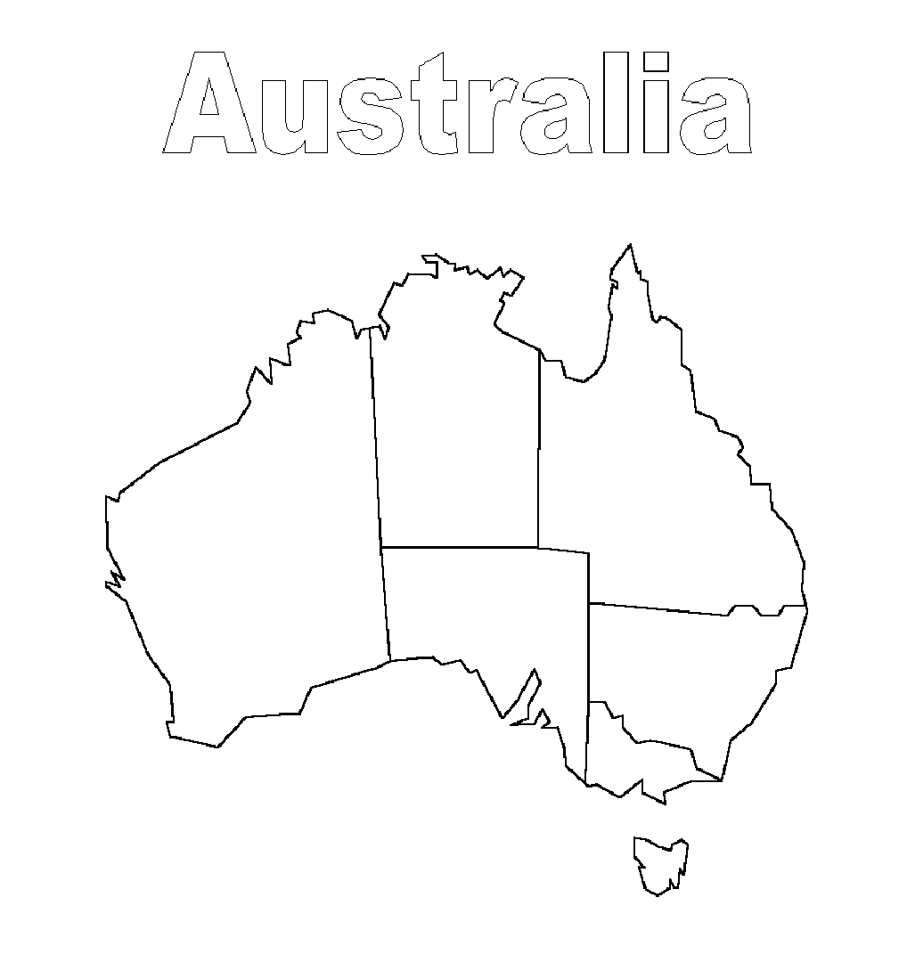
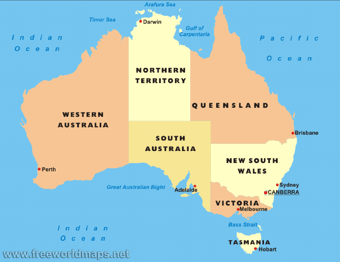
Now that students have had a chance to "explore" Australia themselves, students will now color their own map of Australia. Print the blank map of Australia and give it to students. Use the technology of the Smart Board to project the sample maps on the board and have students color in the different geographical regions of the map.
Blank Map of Australia
Sample Maps of Australia
Sample Maps of Australia
Activity Three
If you have additional time, discuss these Fun Facts about Australia’s Geography:
1. How big is Australia?
Then have students use technology to find their own fun fact to present to the class. Use these sites to help.
Reading List:
http://www.australia.com
http://www.infoplease.com/country/australia.html
http://www.dfat.gov.au/geo/australia/
http://australia.gov.au/about-australia
http://kids.nationalgeographic.com/kids/places/find/australia/
If you have additional time, discuss these Fun Facts about Australia’s Geography:
1. How big is Australia?
- 7.69 million square kilometers
- The only continent that’s governed as a single country
- 23 million people
- It’s the world’s largest island, but smallest continent
Then have students use technology to find their own fun fact to present to the class. Use these sites to help.
Reading List:
http://www.australia.com
http://www.infoplease.com/country/australia.html
http://www.dfat.gov.au/geo/australia/
http://australia.gov.au/about-australia
http://kids.nationalgeographic.com/kids/places/find/australia/
